Building BKK FloodWatch: Turning 1,044 River Gauges into a Calm Mobile Radar
During the peak of Bangkok monsoon season, official water reports were buried in 80-page PDFs. Here is the story of how our team built flood.autobahn.bot as a calm, free public tool for everyday commuters.

Building BKK FloodWatch: Turning 1,044 River Gauges into a Calm Mobile Radar
If you have ever lived through a September in Bangkok, you know the feeling.
The sky turns dark violet at 4:30 PM. Thunder echoes across the Chao Phraya River basin, and within twenty minutes, main roads like Sukhumvit, Rama IV, and Phahonyothin turn into slow-moving canals.
As commuters, parents, and motorcycle taxi riders scramble to get home, everyone asks the exact same question: "Is my street underwater right now, and will the canal spill over before I get there?"
In September 2026, as the water rose, our team looked at the available tools. The government agencies collect incredible telemetry, but the data was scattered across five separate department websites, outdated tables, and 80-page scanned PDFs that take 30 seconds to load on a spotty mobile connection.
We decided to build something better: BKK FloodWatch (https://flood.autobahn.bot).
Here is the real story of how we turned 1,044 river sensors into a calm, reliable public radar for everyday citizens.
The Problem: When Public Data Is Trapped in Jargon
Government telemetry is accurate, but it is written for hydrologists, not commuters. A citizen doesn't need to know "Gauge #42 recorded 1.84m MSL (Mean Sea Level) with an outflow rate of 1,200 m³/s."
A citizen needs to know: 1. Is the water level normal, rising, or spilling onto the walkway? 2. Is the trend over the last 12 hours pointing up or down? 3. What is happening right now near my neighborhood?
Designing for the Commuter in the Rain
When designing flood.autobahn.bot, we imposed three non-negotiable UX constraints:
- Light enough for weak 4G: When you are standing under an awning in the rain with 1 bar of cellular signal, bloated client scripts and heavy maps fail. We kept the page lean so it opens on one bar of signal.
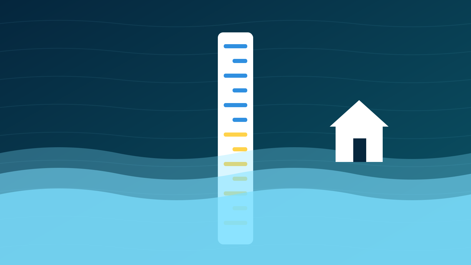
- Calm Color Language: Red alarm banners cause panic. Every gauge says in plain Thai how full it is — overflowing, near the bank, watch or still has room — and whether the water is still rising or holding steady.
- Honest Trend Ranges, Never False Countdowns: Nature is not a timer. We explicitly never show countdown timers like "Flooding in 18 minutes." Instead, we show forecasts 24, 48 and 72 hours ahead as ranges with their tested error — or the measured recent change when the forecast is not sure — so readers can make informed judgments without sensationalism.
Real Community Impact
Today, BKK FloodWatch continuously monitors 1,044 live gauges across 62 rivers and canals, aggregating feeds from 5 public agencies every 5 to 30 minutes, depending on the agency.
It went live on 26 September 2026, in the middle of the flood, built so a commuter can check the canal next to the office before stepping out into the rain.
Best of all: it is free for everyone, with no ads and a free public data API. The code of its first edition (up to v0.34) is open source under the MIT licence.
Technology in Service of Human Life
We build developer tools and AI systems every day at Autobahn, but projects like FloodWatch remind us why technology matters in the first place.
Software is not just about abstract code; it is about keeping people safe, dry, and connected when the rain starts falling. Check your local water levels anytime at flood.autobahn.bot.
Autobahn Core Engineering. Ships reliable sandboxes, zero-collision containers, and edge infrastructure.